See a map of the Mesquite Heat Fire, smoke spread
The Mesquite Heat Fire, which started near View Tuesday, is expected to continue growing as the Texas A&M Forest Service releases better mapping, and as the area is facing excessive heat and near critical fire warnings.
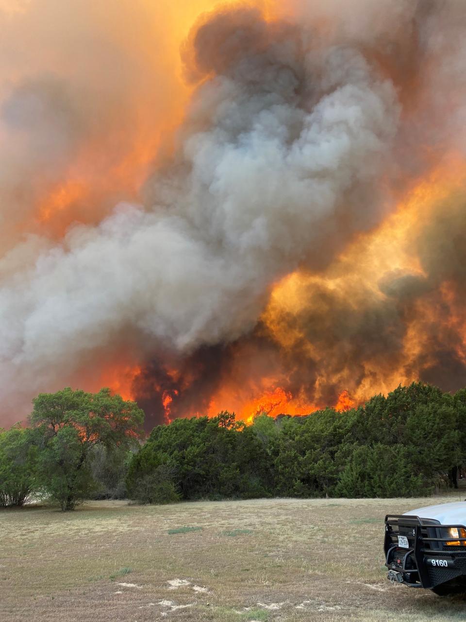
The fire is at 5,000 acres and 5% containment as of Thursday morning. It has destroyed 10 structures, including homes. That number is expected to increase.
Stay connected: Download the ReporterNews.com app for more news and sports.
Evacuation orders remain in effect for several areas as of Thursday morning, including Buffalo Gap and "anybody in the vicinity of the fire," according to orders issued by Taylor County Judge Downing Bolls Jr.
See the latest updates: Mesquite Heat Fire Thursday update: Additional firefighters join efforts
Map shows extent of fire, smoke spread
The following map shows the size of the Mesquite Heat Fire, and how far the smoke has spread. If you can't see the map below, visit https://data.reporternews.com/fires/
'It's devastating': Mesquite Heat Fire has destroyed at least 10 homes. Here's what we know.
This article originally appeared on Abilene Reporter-News: Mesquite Heat Fire map near Abilene, View, Texas

